Welcome to Noodles.gl
Noodles.gl is a node-based editor for creating geospatial visualizations and animations. It combines visual programming with reactive data flow to build interactive presentations and high-quality renders.
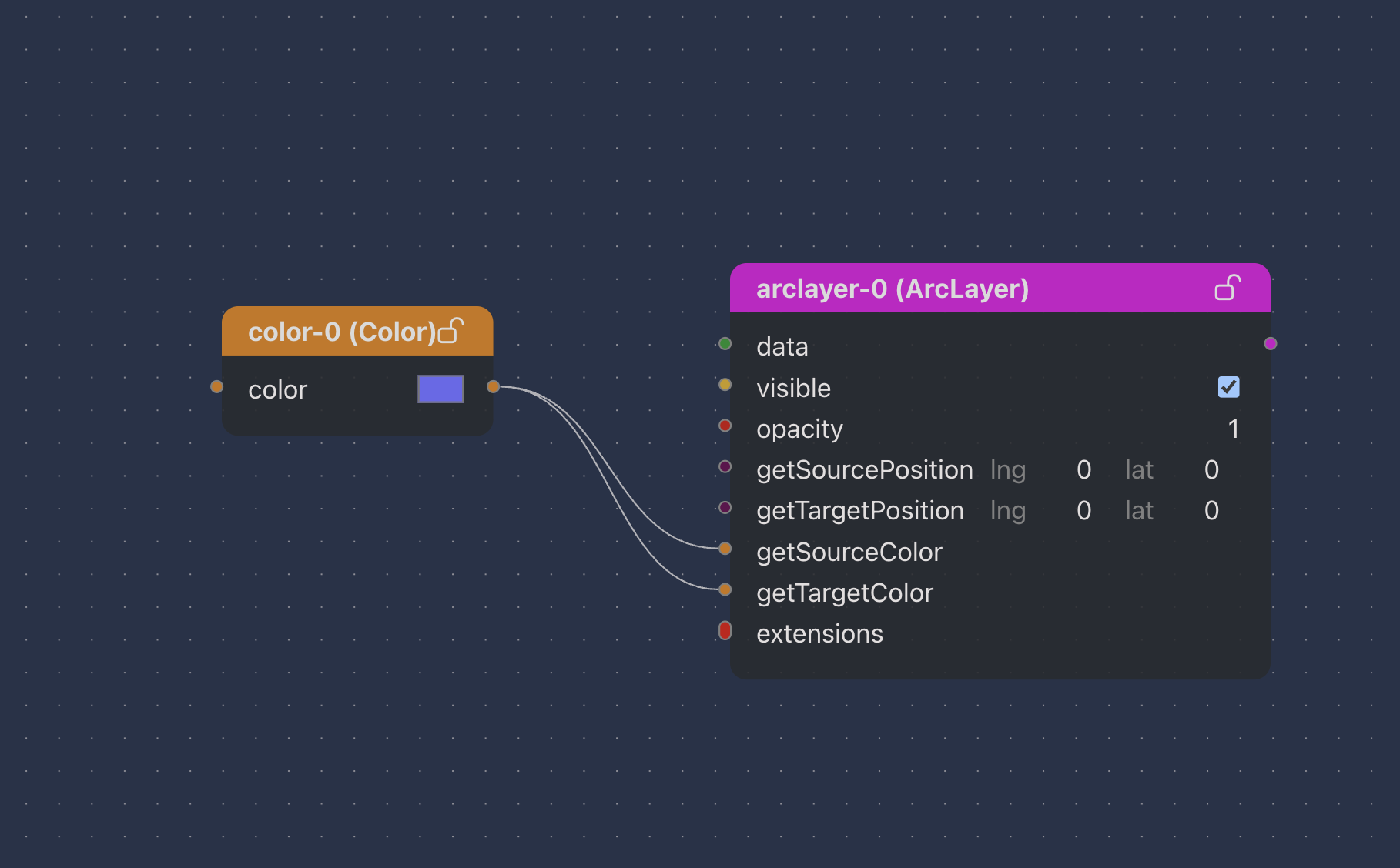
What is Noodles.gl?
- Node-based Editor: Drag and drop operators to build data pipelines
- Real-time Updates: Changes propagate automatically through your data flow
- Geospatial: Built on Deck.gl for maps, routes, and spatial data
- Timeline Integration: Keyframe any parameter to create smooth animations
- Data Formats: Support for JSON, CSV, GeoJSON, and more
- Export Options: Generate videos, images, or interactive web presentations
Who Uses Noodles.gl
- Visualization Experts: Creating high-quality, presentation-ready graphics
- Developers: Rapid visualization prototyping
- Data Scientists: Data exploration and analysis
- Research Teams: Publishing polished geospatial analysis and insights
Get Started
Choose your path:
- Application Users → - Learn to use Noodles.gl for creating visualizations
- Framework Developers → - Extend Noodles.gl with custom operators and fields